
Tropical Cyclone Esami formed in the Southern Indian Ocean and just three days later, visible imagery from NASA’s Aqua satellite confirmed the storm had dissipated.
Tropical Cyclone Esami formed in the Southern Indian Ocean and just three days later, visible imagery from NASA’s Aqua satellite confirmed the storm had dissipated.
Tropical Cyclone Esami formed on January 24 at 4 p.m. EST (2100 UTC) about 764 miles east-southeast of Port Louis, Mauritius. Esami’s maximum sustained winds peaked the next day on Jan. 25 at 45 knots (52 mph/83 kph).
On January 26 at 4 p.m. EST (2100 UTC), the Joint Typhoon Warning Center issued their final warning on Tropical Cyclone Esami. At that time, Esami had weakened to a depression with maximum sustained winds near 30 knots (34.5 mph/55.5 kph). It was located near latitude 29.8 degrees south and longitude 77.9 degrees west, about 1,260 miles east-southeast of Port Louis, Mauritius. The depression was moving to the south-southeast and was dissipating.
Read more at NASA/Goddard Space Flight Center
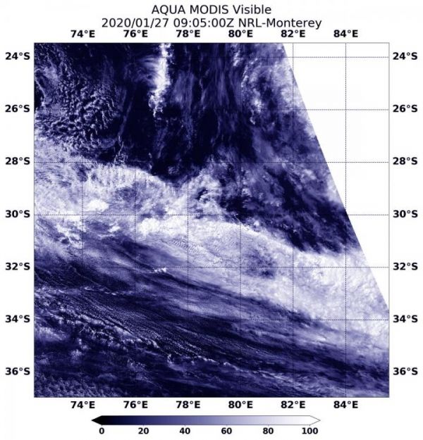
Image: On January 27 at 4:05 a.m. EST (0905 UTC), the MODIS instrument aboard NASA's Aqua satellite provided a visible image of the remnant clouds of former Tropical Cyclone Esami in the Southern Indian Ocean. (Credit: NASA/NRL)


