
Persistent rains and saturated soils across the watershed swelled the river to its banks and occasionally onto floodplains.
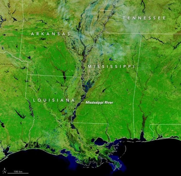
Persistent heavy rains across the Mississippi River watershed swelled the river to its banks, occasionally causing water to spill onto floodplains in late January 2020. By early February, the river was near or above flood stage in parts of Arkansas, Tennessee, Mississippi, and Louisiana, though high water has already crested in most places.
The Moderate Resolution Imaging Spectroradiometer (MODIS) on NASA’s Terra satellite acquired false-color images of the Mississippi Delta and the lower reaches of the river on December 4, 2019, and February 2, 2020. The combination of near-infrared and visible light makes it easier to see where the river is out of its channel and spread across the floodplains, particularly in the broad delta of the Lower Mississippi.
As of February 4, the NOAA Advanced Hydrological Prediction Service reported 3 river gauges with moderate flooding, 12 with minor flooding, and 17 near flood stage along the Lower Mississippi.
Continue reading at NASA Earth Observatory
Image via NASA Earth Observatory


