
The United States saw 14 billion-dollar disasters in 2019. These included eight severe storm events, three flooding events, two tropical cyclones, and one wildfire event in multiple locations.
It was also the fifth consecutive year in which 10 or more billion-dollar weather and climate disasters affected the U.S. Overall, these events caused at least 44 casualties and had significant economic impacts.
Many more less-extreme weather and climate events touched the nation last year, but no matter how large or small, NOAA’s satellite imagery and data were the foundation of 2019’s life-saving forecasts. For federal, state, and local emergency managers, those same satellites provided critical, up-to-the-minute information as well.
From orbit, our next-generation satellites bring better data for weather prediction and provide a more comprehensive scope of disasters after they happen. NOAA satellites assist emergency responders with all parts of a disaster—from preparing the public and protecting infrastructure, to timely and targeted response and recovery.
NOAA’s newest geostationary satellites—the next-generation GOES-R series—view the globe from an orbital position located 22,300 miles up and are constantly watching the Earth from eastern Australia to western Africa. Equipped with the Advanced Baseline Imager (ABI) instrument, both GOES-16 and GOES-17 image much of the planet’s weather, oceans, and environment in unprecedented detail. Data from the ABI instruments help meteorologists better track severe storms and provide earlier warnings ahead of extreme weather events. ABI data also leads to more preparation time ahead of tropical storms and hurricanes, enabling emergency managers to make quicker and better-informed decisions, including ordering effective evacuations.
Continue reading at NOAA National Environmental Satellite, Data, and Information Service (NESDIS)
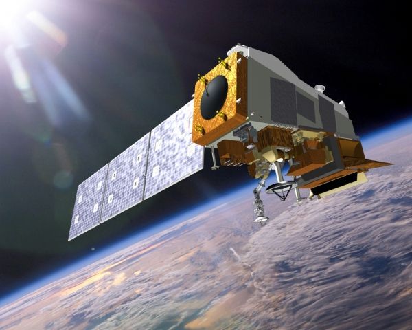
Image via NOAA National Environmental Satellite, Data, and Information Service (NESDIS)


