
Even under modest climate warming scenarios, the continental United States faces a significant loss of groundwater – about 119 million cubic meters, or roughly enough to fill Lake Powell four times or one quarter of Lake Erie, a first-of-its-kind study has shown.
Even under modest climate warming scenarios, the continental United States faces a significant loss of groundwater – about 119 million cubic meters, or roughly enough to fill Lake Powell four times or one quarter of Lake Erie, a first-of-its-kind study has shown.
The results, published today in Nature Communications, show that as warming temperatures shift the balance between water supply and demand, shallow groundwater storage can buffer plant water stress – but only where shallow groundwater connections are present, and not indefinitely. As warming persists, that storage can be depleted – at the expense of vital connections between surface water, such as rivers, streams and water reservoirs underground.
"Even with a 1.5 degrees Celsius warming case, we're likely to lose a lot of groundwater," said Reed Maxwell, professor of hydrology at the Colorado School of Mines, who co-authored the paper with Laura Condon of the University of Arizona and Adam Atchley of Los Alamos National Laboratory. "The East Coast could start looking like the West Coast from a water standpoint. That's going to be a real challenge."
Most global circulation models don't take into account the lateral movement of water in the subsurface. Typically, they only include limited up-and-down movement, such as rain percolating from vegetation into the soil and roots pulling up water from the ground. In addition, these models tend to limit their scope to mere meters above or below ground.
Read more at University of Arizona
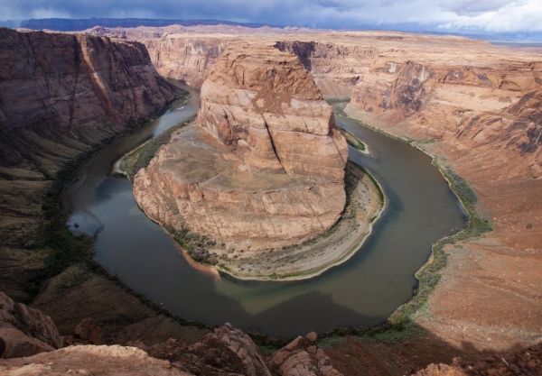
Image: Depletion of groundwater will be more disruptive to vegetation, streams and rivers in the eastern US than in the arid Southwest, where deep groundwater already is largely disconnected from surface waters, illustrated here by the Colorado River meandering through red sandstone in northern Arizona. (Credit: Daniel Stolte)


