
University of Illinois scientists, with help from members of the Illinois Corn Growers Association, have developed a new, scalable method for estimating crop productivity in real time.
University of Illinois scientists, with help from members of the Illinois Corn Growers Association, have developed a new, scalable method for estimating crop productivity in real time. The research, published in Remote Sensing of Environment, combines field measurements, a unique in-field camera network, and high-resolution, high-frequency satellite data, providing highly accurate productivity estimates for crops across Illinois and beyond.
“Our ultimate goal is to provide useful information to farmers, especially at the field level or sub-field level. Previously, most available satellite data had coarse spatial and/or temporal resolution, but here we take advantage of new satellite products to estimate leaf area index (LAI), a proxy for crop productivity and grain yield. And we know the satellite estimates are accurate because our ground measurements agree,” says Hyungsuk Kimm, a doctoral student in the Department of Natural Resources and Environmental Sciences (NRES) at U of I and lead author on the study.
Kimm and his colleagues used surface reflectance data, which measures light bouncing off the Earth, from two kinds of satellites to estimate LAI in agricultural fields. Both satellite datasets represent major improvements over older satellite technologies; they can “see” the Earth at a fine scale (3-meter or 30-meter resolution) and both return to the same spot above the planet on a daily basis. Since the satellites don’t capture LAI directly, the research team developed two mathematical algorithms to convert surface reflectance into LAI.
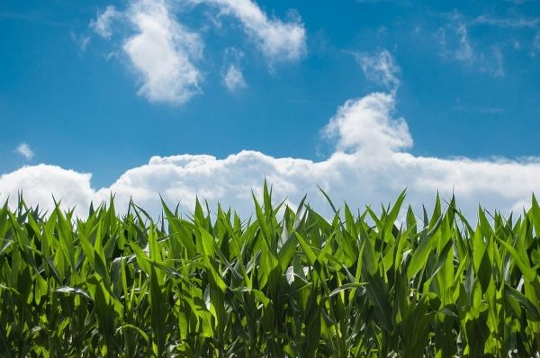
While developing the algorithms to estimate LAI, Kimm worked with Illinois farmers to set up cameras in 36 corn fields across the state, providing continuous ground-level monitoring. The images from the cameras provided detailed ground information to refine the satellite-derived estimates of LAI.
Read more at University of Illinois College of Agricultural, Consumer and Environmental Sciences
Photo credit: Skitterphoto via Pixabay


