
Thanks to a new algorithm, researchers at the AWI can now use satellite data to determine in which parts of the ocean certain types of phytoplankton are dominant.
Thanks to a new algorithm, researchers at the AWI can now use satellite data to determine in which parts of the ocean certain types of phytoplankton are dominant. In addition, they can identify toxic algal blooms and assess the effects of global warming on marine plankton, allowing them to draw conclusions regarding water quality and the ramifications for the fishing industry.
The tiny phytoplankton found in the world’s oceans are tremendously productive, and create half the oxygen we need to breathe. Just like land-based plants, they use photosynthesis to produce carbohydrate, which they use as an energy source. They grow, divide and produce enormous quantities of biomass, the basis of all marine life. In addition, they are an essential food source for small crustaceans, fish and mussel larvae, which are themselves staples for larger fish. When phytoplankton are in short supply, it jeopardises the food web for all other marine organisms.
There are various groups of phytoplankton around the globe, and they fulfil different functions in marine ecosystems. Some are favourite food sources; others form specific chemical compounds or serve as nutrient fixers in the water, which can have a major influence on marine flora and fauna. On the other hand, certain groups of phytoplankton can grow to dense masses and produce toxic substances; when there are too many of them in the water, it can be lethal for some marine organisms, especially fish. Marine phytoplankton are also extremely important in their role as a CO2 sink. Accordingly, researchers are keen to learn how the populations of the respective phytoplankton groups are developing around the world.
Read more at Alfred Wegener Institute for Polar and Marine Research
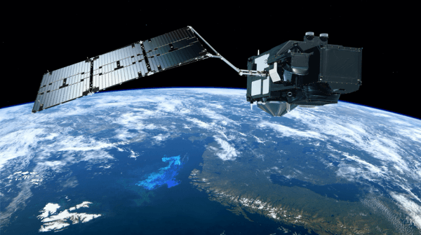
Photo: Sentinel 3A satellite on orbit (Credit: ESA / ATG Medialab)


