
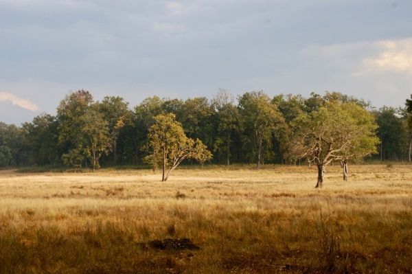
While using large swaths of coarse satellite data can be an effective tool for evaluating forests on a national scale, the resolution of that data is not always well suited to indicate whether or not those forests are growing or degrading.
While using large swaths of coarse satellite data can be an effective tool for evaluating forests on a national scale, the resolution of that data is not always well suited to indicate whether or not those forests are growing or degrading.
A new study led by the University of Delaware’s Pinki Mondal recommends that in addition to using this broad scale approach, it is important for countries to prioritize areas such as national parks and wildlife refuges and use finer scale data in those protected areas to make sure that they are maintaining their health and are being reported on accurately.
To help create an easy-to-implement reporting framework for six Southeast Asian forest ecosystems — in Bangladesh, Bhutan, India, Nepal, Pakistan, and Sri Lanka — Mondal led a study that first looked at those countries using a broad brush approach and then used higher resolution data to focus on two specific protected areas to show how the coarse satellite data can sometimes overlook or misinterpret temporal changes in forest cover.
Read more at University Of Delaware
Image Credit: University Of Delaware


