
Researchers can better quantify the range of possible impacts from landfalling storms.
What if Sandy had dealt New Jersey a glancing blow in 2012 instead of hitting it nearly head on? Or if the historic storm had made landfall farther south or north? What if the storm was smaller, slower, or more intense? How would the impacts change?
Answering these questions using dynamical weather models, like the widely used Weather Research and Forecasting (WRF) model based at the National Center for Atmospheric Research (NCAR), is a challenge. While these models can simulate hurricanes in detail, they are primarily designed to give the best possible prediction of a hurricane's track and evolution given the current conditions in the model, not to answer what-if scenarios. As a result, scientists have very little control over how the storms in the model propagate.
A new tool developed by NCAR scientists is changing that. The Hybrid WRF Cyclone Model (HWCM) allows scientists to create an idealized storm (prescribing storm characteristics such as size and intensity), precisely place that storm where they want it, and then steer the storm toward land, giving them a much greater degree of control over how and where the simulated hurricane makes landfall.
Continue reading at National Center for Atmospheric Research
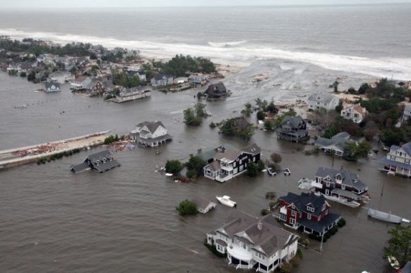
Image via National Center for Atmospheric Research


