
Demand for oil has collapsed due to the coronavirus pandemic just as supply is about to strengthen because of a dispute between Russia and Saudi Arabia. As a result, oil prices have sunk to levels not seen since 2002.
As storage tanks around the world fill up, ESA-backed companies are using satellite data to map the flow of oil across the globe through shipping channels and pipelines in almost real time. The analysis allows producers, traders and governments to support the economy by taking informed decisions about the fuel that powers industry and heats homes.
Crude oil is pumped from underground reservoirs into storage tanks that can be seen from space. These cylindrical tanks have lids that float on top of the oil, to minimise any loss through evaporation and reduce the risk of toxic, flammable gases escaping.
Earth observation satellites circle the planet carrying optical cameras that can spot these tanks and measure their diameters. Such satellites carry synthetic aperture radar instruments that can detect the rise and fall in the height of the lids. This enables the volume of oil flowing into and out of the facility to be calculated.
Continue reading at European Space Agency
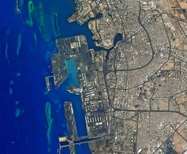
Image via European Space Agency


