
The new technique could have significant implications for climate change predictions.
A University of Alaska Fairbanks-led research team has developed a way to use satellite images to determine the amount of methane being released from northern lakes, a technique that could help climate change modelers better account for this potent greenhouse gas.
By using synthetic aperture radar, or SAR, researchers were able to find a correlation between “brighter” satellite images of frozen lakes and the amount of methane they produce. Comparing those SAR images with ground-level methane measurements confirmed that the satellite readings were consistent with on-site data.
SAR data, which were provided by UAF’s Alaska Satellite Facility, are well-suited to the Arctic. The technology can penetrate dry snow, and doesn’t require daylight or cloud-free conditions. SAR is also good at imaging frozen lakes, particularly ones filled with bubbles that often form in ice when methane is present.
Continue reading at University of Alaska Fairbanks
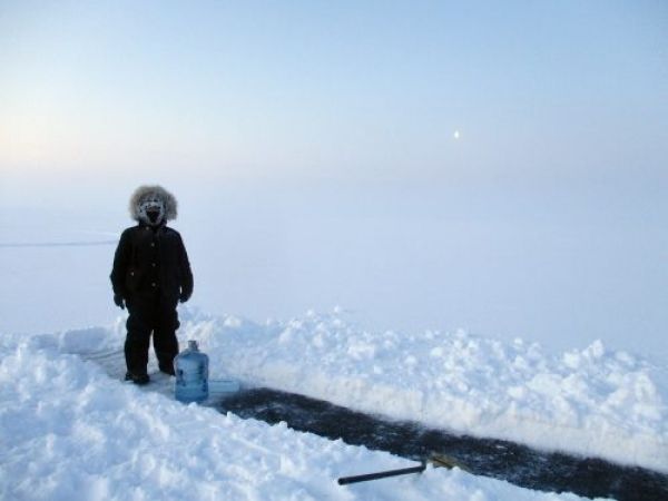
Image via University of Alaska Fairbanks


