
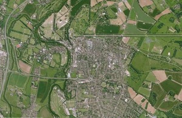
The public sector can access new satellite images of the UK to help issues such as town planning and flood mapping.
The first of its kind data archive, launched by the UK Space Agency’s Space for Smarter Government Programme (SSGP), has updated its free optical and radar data sets of Britain and Northern Ireland.
The Agency is working to help government departments understand how they can use Earth observation (EO) data and create opportunities for new collaborations with industry and academia, as well as overcoming the cost barriers to test the capabilities of high resolution imagery.
The data, originally made available in March 2019, is intended to benefit the public sector in areas such as planning and development and environmental monitoring, while boosting further growth in the UK’s world-leading space industry, which already employs nearly 42,000 people.
Continue reading at United Kingdom Space Agency
Image via United Kingdom Space Agency


