
Scientists at Columbia University’s Lamont-Doherty Earth Observatory use computer models and observations to understand hurricanes and other tropical storms and advance the science of predicting them.
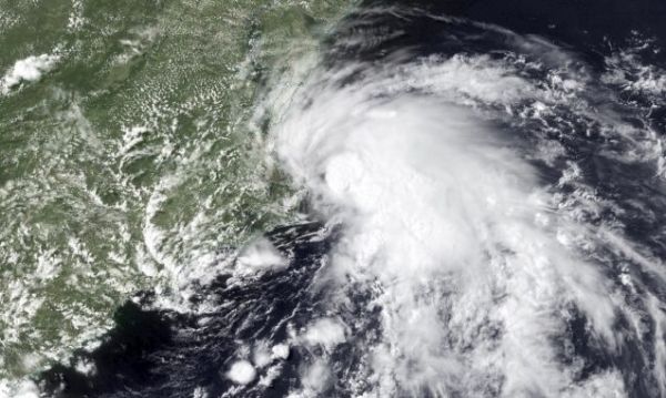
A tropical storm warning was issued for New York, New Jersey, and other mid-Atlantic states on Friday, July 10 due to Tropical Storm Fay, the earliest sixth-named storm on record. The storm made landfall near Atlantic City, N.J. on Friday evening and dumped between four and six inches of rain on some areas.
Fay follows a string of record-setting storms during the 2020 Atlantic hurricane season. It began with Tropical Storms Arthur and Bertha, who ignored the season’s official June 1 start date and formed in May. Tropical Storm Cristobal followed, setting a record for the earliest third named storm formation date. Dolly became the fourth when it developed in late June, and Edouard set a record in July for being the earliest-developing “E” storm.
This activity doesn’t mean the season will consist of a continuous string of hurricanes or storms that make landfall. But the National Oceanic and Atmospheric Administration (NOAA) Climate Prediction Center issued a forecast in May calling for a 60 percent chance of an above-normal Atlantic hurricane season. NOAA predicts between 13 and 19 named storms to occur between June 1 and November 30, and 6 to 10 of those could become hurricanes.
Continue reading at Columbia University Earth Institute
Image via Columbia University Earth Institute


