
With a small nudge to a satellite’s orbit, scientists will soon have simultaneous laser and radar measurements of ice, providing new insights into Earth’s frozen regions.
On July 16, the European Space Agency (ESA) begins a series of precise maneuvers that will push the orbit of its radar-carrying CryoSat-2 satellite about half a mile higher – putting it in sync with NASA’s laser-carrying Ice, Cloud and land Elevation Satellite 2, or ICESat-2.
When the maneuvers are complete later this summer, the two satellites will pass over a swath of the Arctic within a few hours of each other. That synchronous stretch, of more than 2,000 miles (3,200 kilometers) every day or so, will be key for studying sea ice, which floats on the Arctic Ocean and is moved around with currents and winds. If the satellites take measurements at different times, the two could be measuring different floes of fast-moving ice. Syncing up the satellites provides scientists with two datasets for the same ice.
“Combining these two measurements from space will lead to a golden age,” said Tommaso Parrinello, CryoSat-2 mission manager with ESA. “It’s a small change for CryoSat-2, but will be a revolution for the science.”
Continue reading at NASA Goddard Space Flight Center
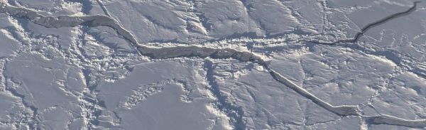
Image via NASA Goddard Space Flight Center


