
A key component of the Gulf Stream has markedly slowed over the past century—that’s the conclusion of a new research paper in Nature Communications published on August 7.
A key component of the Gulf Stream has markedly slowed over the past century—that’s the conclusion of a new research paper in Nature Communications published on August 7. The study develops a method of tracking the strength of near-shore ocean currents using measurements made at the coast, offering the potential to reduce one of the biggest uncertainties related to observations of climate change over the past century.
“In the ocean, almost everything is connected,” said Christopher Piecuch, an assistant scientist in the Physical Oceanography Department at the Woods Hole Oceanographic Institution (WHOI) and author of the study. “We can use those connections to look at things in the past or far from shore, giving us a more complete view of the ocean and how it changes across space and time.”
Piecuch, who specializes in coastal and regional sea level change, used a connection between coastal sea level and the strength of near-shore currents to trace the evolution of the Florida Current, which forms the beginning of the Gulf Stream. The Gulf Stream flows north along the Southeast Atlantic Coast of the United States and eventually east into the North Atlantic Ocean, carrying heat, salt, momentum, and other properties that influence Earth’s climate. Because nearly continuous records of sea level stretch back more than a century along Florida’s Atlantic Coast and in some parts of the Caribbean, he was able to use mathematical models and simple physics to extend the reach of direct measurements of the Gulf Stream to conclude that it has weakened steadily and is weaker now than at any other point in the past 110 years.
Read more at Woods Hole Oceanographic Institution
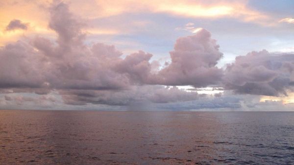
Photo: The new study uses a method of tracking the strength of near-shore ocean currents from a distance via measurements of coastal sea level. (Photo by Carol Anne Clayson, ©Woods Hole Oceanographic Institution)


