
NASA’s Aqua satellite obtained a visible image of Tropical Storm Jangmi after it transitioned into an extra-tropical storm.
NASA’s Aqua satellite obtained a visible image of Tropical Storm Jangmi after it transitioned into an extra-tropical storm.
The Joint Typhoon Warning Center (JTWC) posted its final bulletin on Tropical Storm Jangmi on Aug. 10 at 11 a.m. EDT (1500 UTC). At that time, it was located near latitude 26.9 degrees north and longitude 130.4 degrees east, about 139 miles northeast of Chinhae, South Korea. Jangmi was speeding to the north-northeast at 29 knots and had maximum sustained winds of 35 knots (40 mph).
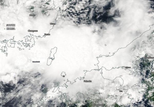
On Aug. 11, Jangmi had moved into the Sea of Japan and had become extra-tropical.
Read more at: NASA/Goddard Space Flight Center
NASA's Aqua satellite provided a visible image to forecasters of Extra-tropical storm Jangmi in the Sea of Japan on Aug. 11, 2020. (Photo Credit: Image Courtesy: NASA Worldview, Earth Observing System Data and Information System (EOSDIS).)


