
NOAA partner collects quarry of deep ocean sound and mapping data
Barely had the ink dried on the partnership agreement signed by NOAA and ocean explorer Victor Vescovo, owner of Caladan Oceanic LLC, when his team headed out to the Pacific Ocean to dive and map the Mariana Trench, and answer the questions -- how deep and where exactly is the bottom of the ocean.
Vescovo made several dives to the bottom of Challenger Deep in the Mariana Trench in June, considered the deepest place in the global ocean. Vescovo generously shared the data and scientific information that Caladan collected during its expedition with NOAA. NOAA Corps Commander Sam Greenaway, based in Hawaii, is now crunching data from the dives to measure the depth of the deepest point in Challenger Deep.
“It’s a great data set and will be exciting to update the answer of “how deep is the ocean” with at least a five-fold increase in precision,” said Greenaway. “I’m also confident that the ship-based mapping of the trench, the high-resolution profiles of Challenger Deep, and the huge suite of conductivity, temperature and depth data will open many new lines of inquiry.”
Continue reading at NOAA Research
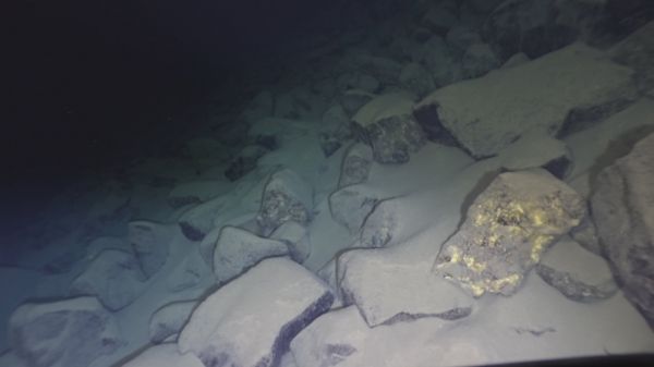
Image via NOAA Research


