
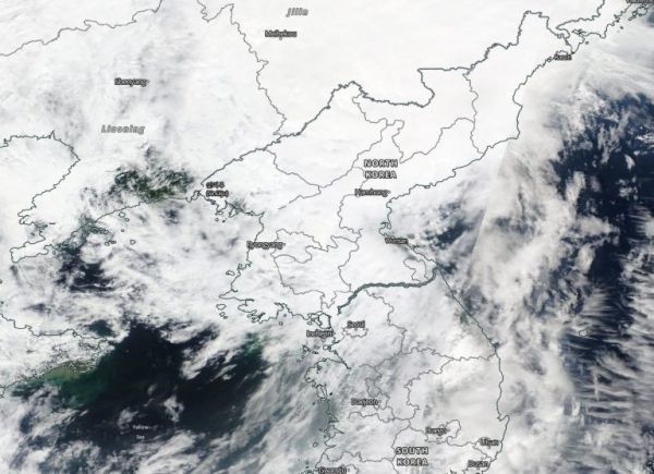
NASA’s Terra satellite captured visible imagery as Tropical Storm Bavi made landfall in northwestern North Korea and moved inland.
The Moderate Resolution Imaging Spectroradiometer or MODIS instrument that flies aboard NASA’s Terra satellite captured a visible image of Tropical Storm Bavi on Aug. 27. The image showed an almost shapeless tropical storm moving over North Korea and into China.
The final warning from the Joint Typhoon Warning Center was issued at 5 a.m. EDT (0900 UTC) on Aug. 27. At the time, it was located near latitude 41.6 degrees north and longitude 125.8 degrees east, about 249 nautical miles north of Inchon, South Korea. Bavi had weakened to a tropical storm with maximum sustained winds near 40 knots (46 mph/74 kph). It was moving to the north-northeast.
Bavi is quickly becoming extra-tropical after making landfall and is now moving across northeastern China.
Continue reading at NASA Goddard Space Flight Center
Image via NASA Goddard Space Flight Center


