
Many NASA assets were used to provide forecasters with information to incorporate into their analysis of Hurricane Laura.
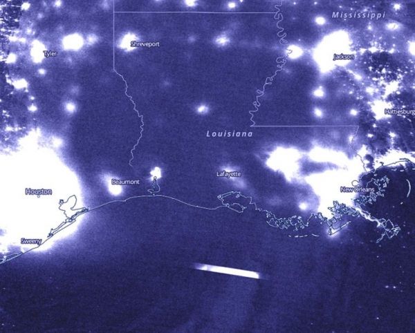
Satellite imagery, photographs from the International Space Station, and a computer program that produces animations of imagery are all things that NASA used to analyze the storm. NASA-NOAA’s Suomi NPP satellite also caught a nighttime image of Laura just after landfall.
Laura made landfall as a powerful Category 4 hurricane along the Louisiana coast. At 2 a.m. EDT (0600 UTC) on Aug. 27, Doppler radar images indicated that the eye of Hurricane Laura made landfall at the coast near Cameron, Louisiana, near latitude 29.8 degrees north and longitude 93.3 degrees west. Air Force reconnaissance and Doppler radar data indicated that the maximum sustained winds were near 150 mph (240 kph) with higher gusts. National Hurricane Center (NHC) Senior Hurricane Specialist John Cangialosi and Hurricane Model Diagnostician and Meteorologist David Zelinsky noted, “At the time of landfall, Laura was a ferocious looking hurricane with a clear circular eye, an intense eyewall, and tightly-coiled surrounding spiral bands.”
Continue reading at NASA Goddard Space Flight Center
Image via NASA Goddard Space Flight Center


