
For decades, the rocky north shore of Lake Huron has served as a lab and lecture hall for second-year University of Toronto students learning fundamental geological field skills.
For decades, the rocky north shore of Lake Huron has served as a lab and lecture hall for second-year University of Toronto students learning fundamental geological field skills.
The course, designed for students pursuing an Earth sciences career in research or industry, teaches basic skills such as how to locate yourself on a map by taking compass bearings on landmarks such as islands or hilltops, how to map a shoreline or geological feature such as an outcropping of rock and how to take accurate notes while in the field.
But when pandemic restrictions suspended in-person teaching in mid-March, Dan Gregory, an assistant professor in the Faculty of Arts & Science’s department of Earth sciences, set about creating an online version of the two-week field course, which was supposed to take place near White Fish Falls, near Sudbury, Ont.
“I was pretty sure early on that we needed to do something,” says Gregory, who migrated the course online with the help of two graduate student teaching assistants and a work-study student. “So I started planning this not long after in-person instruction was cancelled. Then, in early June, we really started running with it.”
Continue reading at University of Toronto.
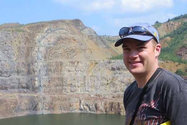
Image via Dan Gregory.


