
The U.S. Geological Survey and the Association of American State Geologists are pleased to announce the projects that have received funding for FY2020 under the USGS Mineral Resources Program’s Earth Mapping Resources Initiative, or Earth MRI.
The U.S. Geological Survey and the Association of American State Geologists are pleased to announce the projects that have received funding for FY2020 under the USGS Mineral Resources Program’s Earth Mapping Resources Initiative, or Earth MRI. New projects in 21 states will receive $7.97 million in funding in fiscal year 2020 to improve the Nation’s mapping of shallow and deep geology.
The State Geological Surveys will receive $2.36 million in support of new geologic mapping and geochemistry, $3.1 million will be devoted to new airborne geophysical survey projects in parts of nine states, and $1.75 million for a lidar survey in Nevada. In addition, 27 State Geological Surveys will receive a total of $762,000 to help with preserving geologic data to better understand the critical mineral resources of the Nation.
“These new projects, in states all across the country, represent the next step in our ambitious effort to improve our knowledge of the geologic framework in the United States and to identify areas that may have the potential to contain undiscovered critical mineral resources,” said Jim Reilly, director of the USGS. "The identification and prioritization of prospective areas was done in through our strong partnership with the State Geological Surveys in a series of workshops in Fall 2019."
“This program will revitalize and update the science and geologic research and data compilation that is needed in many states for the United States to identify new geologic associations,” said John Yellich, director of the Michigan Geological Survey and president of AASG.
Continue reading at USGS.
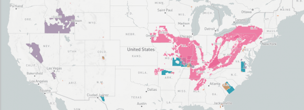
Image via USGS.


