
On September 18, the National Geodetic Survey (NGS) began collecting aerial damage assessment images in the aftermath of Hurricane Sally.
On September 18, the National Geodetic Survey (NGS) began collecting aerial damage assessment images in the aftermath of Hurricane Sally. Imagery is being collected in specific areas identified by NOAA in coordination with state and federal partners. Collected images are available to view online via the NGS aerial imagery viewer. View tips on how to use the imagery viewer.
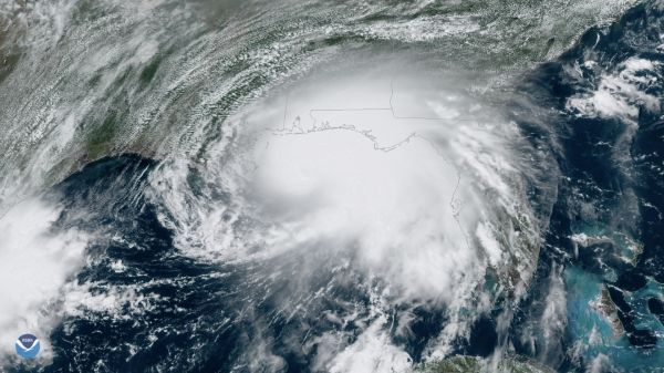
NOAA's aerial imagery aids safe navigation and captures damage to coastal areas caused by a storm. Aerial imagery is a crucial tool to determine the extent of the damage inflicted by flooding, and to compare baseline coastal areas to assess the damage to major ports and waterways, coastlines, critical infrastructure, and coastal communities. This imagery provides a cost-effective way to better understand the damage sustained to both property and the environment. View NOAA Emergency Response Imagery collected on the following days:
September 18: - Counties surrounding Mobile, AL and Pensacola, FL; Navarre, Florida; Graffiti Bridge, Pensacola, Florida; Pensacola Bay Bridge, Pensacola, Florida.
Continue reading at National Ocean Service.
Image via National Ocean Service.


