
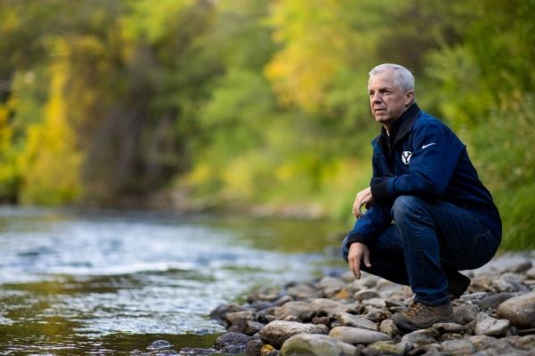
In July heavy rains triggered landslides and floods in Nepal that ultimately killed more than 130 people. As soon as the rain started falling, BYU professor Jim Nelson knew things could get bad.
In July heavy rains triggered landslides and floods in Nepal that ultimately killed more than 130 people. As soon as the rain started falling, BYU professor Jim Nelson knew things could get bad.
That’s because the water-modeling software created by Nelson and colleagues from NASA under the Group on Earth Observations Global Water Sustainability ( GEOGloWS ) Partnership can predict the rise and fall of every river on the face of the planet. And in the case of Nepal, the streamflow forecasts were warning of severe flooding throughout the country.
Fortunately, the predictive models, accessible through the BYU software, made it into the hands of emergency agencies in Nepal, saving many lives in what could have been a catastrophic loss of life.
Nepali officials being able to access this vital information through Nelson’s large-scale visualization hydrologic data services was not a lucky break — it was by design. The models are a key tool in a rapidly expanding initiative from NASA and the U.S. Agency for International Development called NASA SERVIR , whose vision is to bring “Space to Village,” by leveraging satellite-based Earth monitoring, imaging and mapping systems that help people worldwide assess ecological threats and rapidly respond to natural disasters.
Continue reading at Brigham Young University.
Image via J.


