
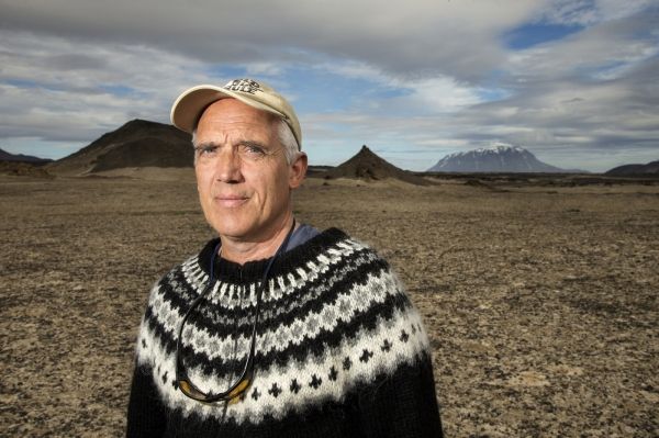
Ármann Höskuldsson is among the best known earth scientists in Iceland and often acts as a media spokesman in the event of a volcanic eruption or earthquake.
Ármann Höskuldsson is among the best known earth scientists in Iceland and often acts as a media spokesman in the event of a volcanic eruption or earthquake. Earthquakes are a serious phenomenon and so it is important to monitor the situation continuously. They are not only dangerous in and of themselves, but sometimes signal an imminent volcanic eruption.
In recent months, seismic activity on the Reykjanes peninsula has been more significant than normal and few places in Iceland have been monitored so closely. The most dramatic seismic activity has been taking place around the mountain Þorbjörn, near Grindavík. Naturally, people are alarmed by earthquakes in this area. Almost right at the foot of the mountain are towns, harbours, industrial structures and major roads, as well as the largest airport in the country that guarantees air traffic to and from Iceland.
The goal of monitoring on the Reykjanes peninsula and in other places is to measure movement at fault lines and plate boundaries, which does not necessarily have to be related to volcanic activity. These measurements also evaluate the accumulation of magma inside volcanoes. There are a lot of volcanoes on the Reykjanes peninsula, although most of them have been inactive for the last century – there are lava fields on the peninsula, though, dating from eruptions shortly after the settlement.
Continue reading at University of Iceland.
Image via University of Iceland.


