
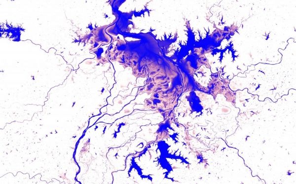
The Atlas of Global Surface Water Dynamics illustrates the changes in the Earth’s lakes, rivers and wetlands over time.
The Atlas provides a better understanding of the consequences climate change and human actions have for the planet’s surface water resources.
It is impossible to overstate the critical importance of water in our daily lives. Surface water bodies – including lakes, ponds and rivers – are particularly important as sources of water for domestic, industrial and agricultural use.
As the Earth’s surface water is intensely dynamic, our knowledge about where waterbodies can be found has not always been accurate. Waterbodies move, whole lakes dry up and new rivers and lakes form, which makes mapping these moving targets difficult.
Continue reading at European Commission Joint Research Center
Image via European Commission Joint Research Center


