
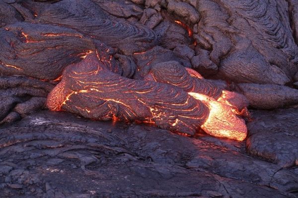
The summer 2018 eruption of Kīlauea Volcano on the Island of Hawai’i was one of the most significant in the volcano’s history, collapsing a large portion of the summit caldera, erupting massively from its flank and triggering a magnitude 6.9 earthquake in the process.
The summer 2018 eruption of Kīlauea Volcano on the Island of Hawai’i was one of the most significant in the volcano’s history, collapsing a large portion of the summit caldera, erupting massively from its flank and triggering a magnitude 6.9 earthquake in the process. Through it all, scientists at the Hawaiian Volcano Observatory were installing new geophysical stations, processing data and making real-time reports to local authorities and neighborhoods.
In the journal Seismological Research Letters, U.S. Geological Survey geophysicist Brian Shiro and colleagues describe their unprecedented efforts to observe and analyze a volcano that was destroying instruments and severing data connections. The paper is part of the journal’s upcoming focus section on monitoring during crisis.
The researchers had been monitoring signs of imminent eruption before the 30 April 2018 collapse of the Pu‘u ‘Ō‘ō vent, which had been erupting continually since 1983. Within a few hours, an unexpected magma intrusion began migrating through the volcano’s East Rift Zone, and “we knew this would not be the next episode of the Pu‘u ‘Ō‘ō eruption,” said Shiro. “Within a day or so when the intrusion was approaching the populated area of Leilani Estates, we knew this could potentially be devastating.”
When the 2018 event was finished, lava had covered a 35-kilometer square area and 716 structures had been destroyed by the flow, displacing more than 2,500 people. Sulfur dioxide emissions rates were among the highest measured on the island and more than 60,000 earthquakes were recorded.
Read more at Seismological Society of America
Photo Credit: orcrist via Pixabay


