
Coral reefs are one of the most biodiverse ecosystems on the planet supporting an estimated 25% of all marine species.
Coral reefs are one of the most biodiverse ecosystems on the planet supporting an estimated 25% of all marine species. These biologically rich ecosystems are threatened by multiple stressors, from warming ocean temperatures brought on by climate change to increases in water pollution from coastal development.
According to current estimates, 75% of the world’s coral reefs could face critical threat levels by 2050. Scientists widely agree that immediate and well-targeted action must be taken to preserve coral reefs for future generations. However, without a clear understanding of where live corals are found, management and conservation efforts will remain hampered at best and ineffective at worst.
Previous work to assess live coral cover has been constrained by technical limitations inherent to available surveillance approaches. For instance, detailed field-based surveys are geographically limited, while satellites cannot track corals at resolutions detailed enough for many types of management activities.
Airborne technologies, however, can collect enormous tracts of contiguous high-resolution data within a single survey, providing insights into both coral health and extent. If the resulting maps can indicate the location of live corals, then specific strategies can be created to preserve, protect and restore them.
Read more at Arizona State University
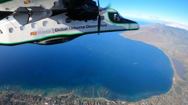
Image: The Arizona State University Global Airborne Observatory on a mapping mission over North Maui Island coast. (Credit: Center for Global Discovery and Conservation Science)


