
Researchers are using Cold War spy satellite images to explore changes in the environment, including deforestation in Romania, marmot decline in Kazakhstan and ecological damage from bombs in Vietnam.
Researchers are using Cold War spy satellite images to explore changes in the environment, including deforestation in Romania, marmot decline in Kazakhstan and ecological damage from bombs in Vietnam.
Ecologists have harnessed new advances in image processing to improve analysis of declassified US military intelligence photographs and detect previously unseen changes in the environment. Dr. Catalina Munteanu, of Humboldt University, and Dr. Mihai Daniel Nita, Transilvania University of Brașov, present new findings from the US Geological Survey declassified satellite imagery.
The main data source for the analyses are Cold War Spy satellite images, which were collected by the US since 1960, initially to monitor the Sino-Soviet bloc. Eight satellites took pictures on film roll, which were then parachuted back into the atmosphere, where a perfectly timed US military plane snatched it mid-air before it could be intercepted.
The researchers obtained the photos through the U.S. Geological Survey’s Earth Resources Observation and Science (EROS) Centre, after being declassified in 1995 under an executive order by President Bill Clinton.
Read more at British Ecological Society
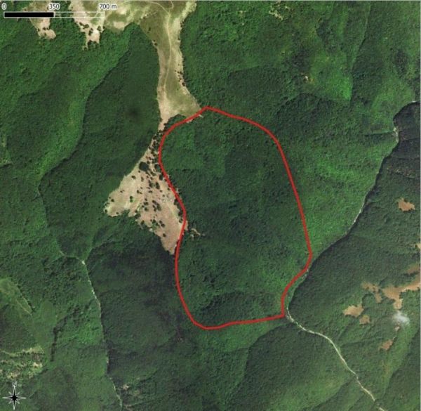
Image: GIF of forest regrowth in Romania (Credit: GIF by Mihai Daniel Nita)


