
In the Namib Desert in southwestern Africa, the Kuiseb River, an ephemeral river that is dry most of the year, plays a vital role.
In the Namib Desert in southwestern Africa, the Kuiseb River, an ephemeral river that is dry most of the year, plays a vital role. It provides most of the vegetation to the area and serves as a home for the local Indigenous people and a migration corridor for many animals. A Dartmouth study published in Remote Sensing finds that the overall vegetation cover increased by 33% between 1984 and 2019.
The study leveraged recent drone imagery and past satellite imagery to estimate past vegetation cover in this linear oasis of the Kuiseb River, a fertile area in the middle of one of the driest deserts on the Earth. The findings are significant, as this is the first study to reconstruct decades of vegetation change over a long stretch of the river, rather than at just a few sites.
The research was based on a senior thesis project by Bryn Morgan '17, the first author of the study; she has a bachelor's degree in geography and chemistry and is now a PhD student in the WAVES Lab at the University of California, Santa Barbara. She first visited the Namib Desert, which is located along the coast of Namibia, in 2015 as part of the environmental studies foreign studies program, led by study co-author Douglas Bolger, a professor and chair of environmental studies at Dartmouth. Morgan returned to the region on her own in 2016 to conduct this research while working out of the Gobabeb Namib Research Institute, and continued the work after graduating from Dartmouth.
Read more at: Dartmouth College
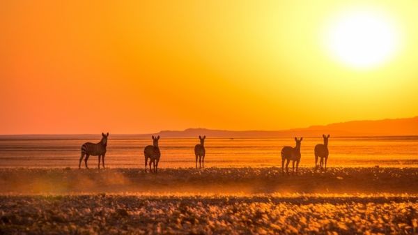
Mountain zebra near the Kuiseb River in the Namib Desert. (Photo Credit: Oliver Halsey)


