
When a block of ice the size of Houston, Texas, broke off from East Antarctica’s Amery Ice Shelf in 2019, scientists had anticipated the calving event, but not exactly where it would happen.
When a block of ice the size of Houston, Texas, broke off from East Antarctica’s Amery Ice Shelf in 2019, scientists had anticipated the calving event, but not exactly where it would happen. Now, satellite data can help scientists measure the depth and shape of ice shelf fractures to better predict when and where calving events will occur, according to researchers.
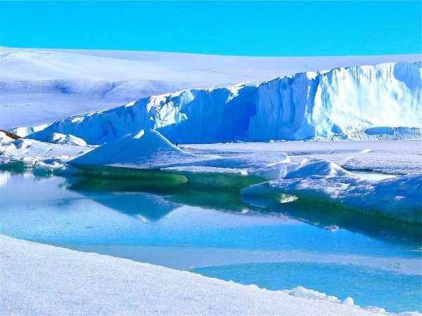
Ice shelves make up nearly 75% of Antarctica’s coastline and buttress — or hold back — the larger glaciers on land, said Shujie Wang, assistant professor of geography at Penn State. If the ice shelves were to collapse and Antarctica’s glaciers fell or melted into the ocean, sea levels would rise by up to 200 feet.
“When we try to predict the future contribution of Antarctica to sea-level rise, the biggest uncertainty is ice shelf stability,” said Wang, who also holds an appointment in the Earth and Environmental Systems Institute. “There’s no easy way to map the depth of fractures in the field over a regional scale. We found that satellite data can capture the depth and surface morphology of ice shelf fractures and thereby allow us to consistently monitor this information over a large range.”
Read more at Penn State
Photo Credit: MemoryCatcher via Pixabay


