
Researchers at Duke University have developed a method that uses machine learning, satellite imagery and weather data to autonomously find hotspots of heavy air pollution, city block by city block.
Researchers at Duke University have developed a method that uses machine learning, satellite imagery and weather data to autonomously find hotspots of heavy air pollution, city block by city block.
The technique could be a boon for finding and mitigating sources of hazardous aerosols, studying the effects of air pollution on human health, and making better informed, socially just public policy decisions.
“Before now, researchers trying to measure the distribution of air pollutants throughout a city would either try to use the limited number of existing monitors or drive sensors around a city in vehicles,” said Mike Bergin, professor of civil and environmental engineering at Duke. “But setting up sensor networks is time-consuming and costly, and the only thing that driving a sensor around really tells you is that roads are big sources of pollutants. Being able to find local hotspots of air pollution using satellite images is hugely advantageous.”
Read More: Duke University
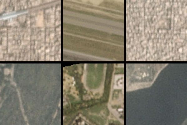
A new AI algorithm picked out these city-block-sized satellite images as local hotspots (top) and cool spots (bottom) for air pollution in Beijing. (Photo Credit: Tongshu Zheng, Duke University)


