
Researchers have detected groundwater beneath a glacier in Greenland for the first time using airborne radar data.
Researchers have detected groundwater beneath a glacier in Greenland for the first time using airborne radar data. If applicable to other glaciers and ice sheets, the technique could allow for more accurate predictions of future sea-level rise.
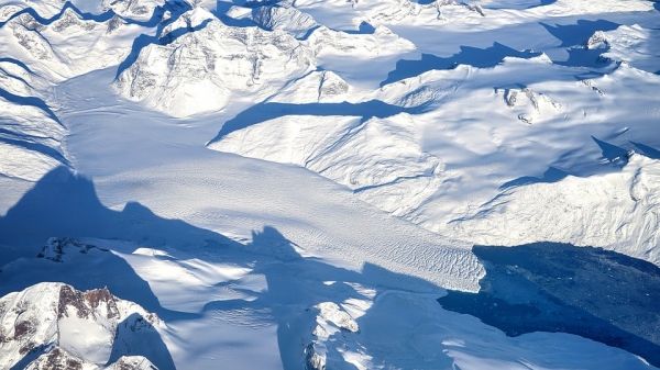
Melting glaciers and polar ice sheets are among the dominant sources of sea-level rise, yet until now, the water beneath them has remained hidden from airborne ice-penetrating radar.
With the detection of groundwater beneath Hiawatha Glacier in Greenland, researchers have opened the possibility that water can be identified under other glaciers from the air at a continental scale and help improve sea-level rise projections. The presence of water beneath ice sheets is a critical component currently missing from glacial melt scenarios that may greatly impact how quickly seas rise – for example, by enabling big chunks of ice to calve from glaciers vs. stay intact and slowly melt. The findings, published in Geophysical Research Letters May 20, could drastically increase the magnitude and quality of information on groundwater flowing through the Earth’s poles, which had historically been limited to ground-based surveys over small distances.
Read more at Stanford University
Photo Credit: jplenio via Pixabay


