
Scientists from the University of Michigan have developed an innovative way to use NASA satellite data to track the movement of tiny pieces of plastic in the ocean.
Scientists from the University of Michigan have developed an innovative way to use NASA satellite data to track the movement of tiny pieces of plastic in the ocean.
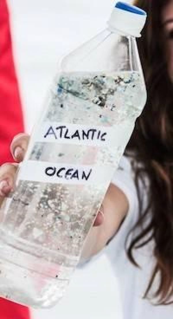
Microplastics form when plastic trash in the ocean breaks down from the sun’s rays and the motion of ocean waves. These small flecks of plastic are harmful to marine organisms and ecosystems. Microplastics can be carried hundreds or thousands of miles away from the source by ocean currents, making it difficult to track and remove them. Currently, the main source of information about the location of microplastics comes from fisher boat trawlers that use nets to catch plankton – and, unintentionally, microplastics.
The new technique relies on data from NASA’s Cyclone Global Navigation Satellite System (CYGNSS), a constellation of eight small satellites that measures wind speeds above Earth’s oceans and provides information about the strength of hurricanes. CYGNSS also uses radar to measure ocean roughness, which is affected by several factors including wind speed and debris floating in the water.
Read more at: NASA/Goddard Space Flight Center
An assortment of microplastic fragments, filaments, and fibers from the North Atlantic Subtropical Gyre displayed in a disposable water bottle. (Photo Credit: Nicole Trenholm / Ocean Research Project)


