
There have been an unprecedented number of newsworthy hurricanes in recent years—from Hurricane Maria, which dealt at least $43 billion in damage to Puerto Rico’s infrastructure, to last year’s Iota, the strongest hurricane ever to hit Nicaragua, which displaced more than 62,000 people and devastated the country’s harvest.
There have been an unprecedented number of newsworthy hurricanes in recent years—from Hurricane Maria, which dealt at least $43 billion in damage to Puerto Rico’s infrastructure, to last year’s Iota, the strongest hurricane ever to hit Nicaragua, which displaced more than 62,000 people and devastated the country’s harvest. Twelve made landfall in the United States in 2020, breaking the previous record of 9 in a single year. And hurricanes, while the most famous, are actually the least frequent of a broader category of storms called tropical cyclones, which are becoming more violent as the climate warms. So it’s more critical than ever that meteorologists accurately forecast them and send out warnings before extreme events catch people off guard.
That’s the thinking behind Tropics, a first-of-its-kind nanosatellite project expected to launch its first qualification unit on Monday from Cape Canaveral aboard a Falcon 9 rocket. The constellation will ultimately consist of 7 small satellites that will monitor Earth’s tropical zone, which spans about 40 degrees of latitude to the north and south of the equator.
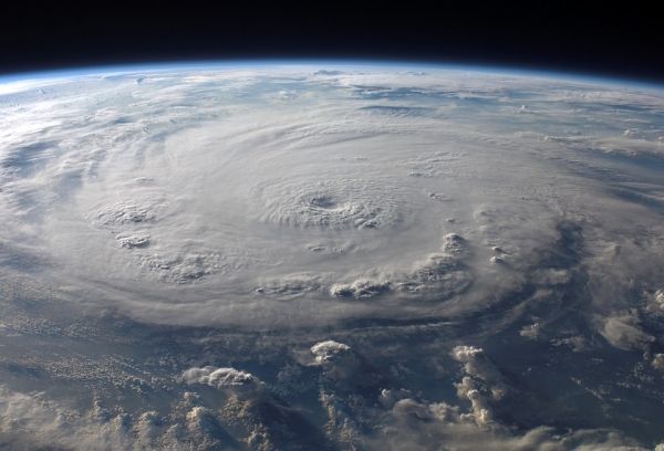
Cyclones have long been one of the most difficult weather phenomena to forecast, and only a few centers around the globe focus on them. The main challenges are nailing down the precise track the storm will take, how intense it will be, and—crucially—where and when it will make landfall. Geostationary satellites give meteorologists a 118-million-foot view, but their effectiveness stops at the cloud tops. They only provide visible and infrared satellite images, which can’t pierce the cloud cover. If you want to “see” below it to collect critical data about the interior of the storm and its motion, temperature, and moisture content, you need the added capabilities of a polar orbiting satellite.
Read more at Wired
Photo Credit: WikiImages via Pixabay


