
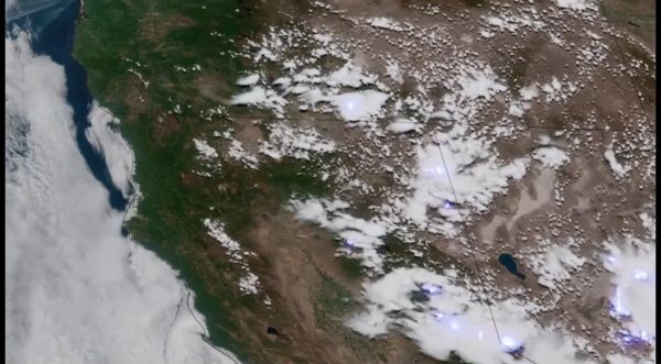
The western U.S. has seen record-breaking high temperatures over the past week as a heat dome, or mass of warm air, blankets the Pacific Northwest.
This essentially occurs when a “mountain” or “dome” of warm air rises into the atmosphere, gets pinched off by the jet stream, and blocks new weather systems from moving in. The extreme heat, coupled with a severe drought this spring and summer in the region, has combined to significantly raise the risk of wildfire from both human and natural hazards, such as lightning.
As the drought and heat wave stretches on, vegetation in these areas dries out, creating ample fuel for potential wildfires. But how dry is it?
NOAA-20 and Suomi NPP, part of the Joint Polar Satellite System (JPSS), detect and monitor drought and plant health using observations from their Visible Infrared Imaging Radiometer Suite (VIIRS) instrument. The VIIRS instrument, which views Earth in visible and infrared wavelengths, detects the “greenness” of vegetation, which shows how many plants there are, how leafy they are, and how healthy they are. Scientists are able to use that data to color code areas on a map where vegetation is stressed based on a scale of zero (most stressed) to 100, due to lack of water and extreme temperatures. Additionally, its Active Fire Product provides additional information on active thermal anomalies. This information is used to monitor drought and estimate crop yields, but can also be used to estimate fire risk around the world.
Continue reading at National Environmental Satellite Data and Information Service (NESDIS)
Image via NESDIS


