
NASA satellites are helping scientists study soil loss over time and develop tools to support farmers as they adopt and manage conservation techniques.
After the corn harvest last fall, Illinois farmer Paul Jeschke planted a fraction of his fields with cereal rye: 60 acres of the 4,500 he farms with his wife, nephew and brother-in-law, tucked behind a pasture, out of neighbors’ sight. That way they could experiment with cover crops, Jeschke explained, and no one could view potential failures. In the coming months, the rye would sprout into a rolling sea of grass. Below ground, it would feed soil microbes and scavenge nitrogen leftover from the corn, preventing it from entering the Illinois River 10 miles away. Above, the thick stand would protect the field from the wind and water that strip soil.
“This is a radically different farming system, and it takes an adventurous mindset to risk growing a crop in such a manner,” Jeschke said. Cover crops are grown not to be harvested, but to shield and improve soil when a cash crop isn’t growing. “My thought is we’re going to have to figure this out sometime or another, and I’d rather do it on the early side than when it may be required.”
Soil is the foundation of our food systems, and sustainable farming depends upon healthy soil, which has impacts far beyond the field on air, water and climate. Wind and water, hastened by human activity and climate change, erode the richest soil at the surface. The United States loses around five tons of soil per acre each year, 10 times the rate at which it forms. That’s the equivalent of a layer as thick as a dime—which may seem slight, but soil is precious and the layers add up in the long-cultivated Corn Belt.
Continue reading at NASA Goddard Space Flight Center
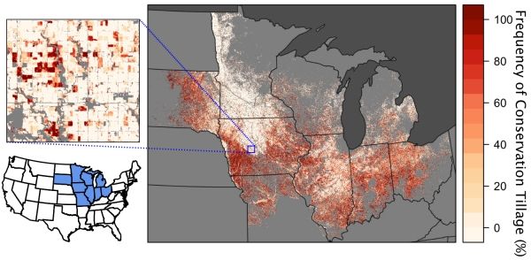
Image via NASA Goddard Space Flight Center


