
When Stanford University graduate student Jeff Rutherford began his doctorate in 2018, the amount of methane entering the atmosphere from oil and gas extraction operations – mostly due to fracking – had become a major matter of contention.
When Stanford University graduate student Jeff Rutherford began his doctorate in 2018, the amount of methane entering the atmosphere from oil and gas extraction operations – mostly due to fracking – had become a major matter of contention. Tracking this harmful greenhouse gas falls to the Environmental Protection Agency.
To help in their accounting, the EPA uses computer models that take a “bottom-up” approach, counting the total number of well heads, storage tanks, miles of pipeline and other sources of methane, declaring an average annual release per component, and totaling everything up. They call it an “inventory.”
The only problem is that other organizations taking a “top-down” approach – using satellite imaging or atmospheric measurement to calculate the actual total methane emissions – were saying that the EPA was missing the mark by as much as half.
“Top-down approaches were finding total emissions double the EPA’s estimates, but the reason why was not clear,” Rutherford said of what motivated him and Adam Brandt, his advisor and a professor of energy resources engineering, to develop a new model. The subject of a paper published Aug. 5 in Nature Communications, their model attempts to bridge the gap between top-down and bottom-up approaches.
Read more at Stanford University
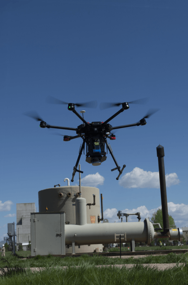
Image: A drone sniffs for methane leaks in Colorado. (Credit: Sean Boggs/Environmental Defense Fund)


