
A new NOAA-led study of precipitation high in the Colorado Rockies aims to give water managers better forecasts for runoff in the critically important Colorado River Basin.
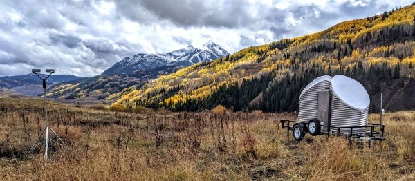
As aspen leaves blazed across the Colorado Rockies this fall, NOAA scientists were busy installing a state-of-the-art observing network in a remote basin near Crested Butte to study how precipitation forms in the complex, high-altitude terrain of the West Elk Mountains. Their goal: improving weather and river flow prediction in a watershed critical to the region’s water supply.
“Rivers often originate in remote, mountainous terrain,” said CIRES researcher Gijs de Boer of NOAA’s Physical Sciences Laboratory. ”We need reliable prediction tools in these headwater regions so water managers can make well-informed decisions about how much water to expect each year.”
The Colorado River Basin is a primary water source for six states and 40 million people from Denver to Los Angeles, as well as for California’s agriculturally significant Imperial Valley. Rising in mountainous headwater regions, snowmelt generates the majority of streamflow and water reservoir storage in the Colorado River Basin. However, a 20-year drought and warming caused by climate change have already significantly impacted water availability, resulting in the first-ever declaration of shortage conditions by the Bureau of Reclamation in 2021.
Continue reading at NOAA Research
Image via NOAA Research


