
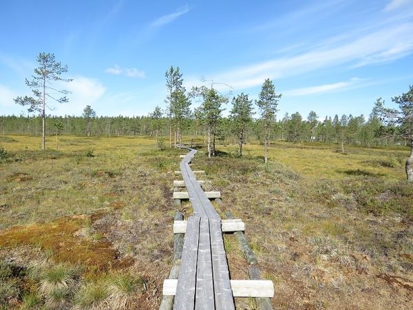
Aapa mire is a northern peatland complex type characterized by wet, sparsely vegetated fens in the central part, while margins are dominated by peat mosses.
Aapa mire is a northern peatland complex type characterized by wet, sparsely vegetated fens in the central part, while margins are dominated by peat mosses. In recent years, the increase of Sphagnum mosses has been observed in many parts of Finland and some regions of North America. The increase of Sphagnum mosses follows the natural succession of peatlands from fens to bogs, but this development can be accelerated by land use and climate change. New remote sensing methods are needed that allow research in a large scale.
Researchers from the University of Eastern Finland studied changes in the Mahlaneva aapa mire located in the Kurikka municipality in western Finland, using repeated field sampling, aerial image time series, and drone-imaging.
“The area of wet fen has decreased remarkably, by 46%, and mainly Sphagnum mosses have increased since 1947,” says Early Stage Researcher Tiina Kolari from the University of Eastern Finland.
In this study, published in the Ecosystems journal, researchers also tested the suitability of Landsat satellite data for detecting the change, including several spectral bands and indices.
Read more at University of Eastern Finland
Photo Credit: Xepheid via Wikimedia Commons


