
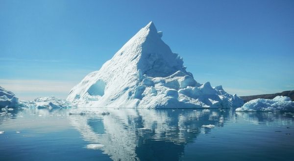
Global warming has caused extreme ice melting events in Greenland to become more frequent and intense over the past 40 years, raising sea levels and flood risk worldwide, finds new research involving UCL academics.
Global warming has caused extreme ice melting events in Greenland to become more frequent and intense over the past 40 years, raising sea levels and flood risk worldwide, finds new research involving UCL academics.
Over the past decade alone, 3.5 trillion tonnes of ice has melted from Greenland’s surface and flowed into the ocean - enough to cover the UK with around 15m of meltwater, or all of New York City with around 4500m.
Published today in Nature Communications, the new study is the first to use satellite data to detect this phenomenon – known as ice sheet runoff – from space.
Funded by the European Space Agency (ESA) as part of its project ‘Polar+ Surface Mass Balance Feasibility’, the study used measurements from the ESA’s CryoSat-2 satellite mission, using estimates of surface elevation change over time.
Read more at University College London
Photo Credit: JChristophe_Andre via Pixabay


