
Brianna Rick, a doctoral student in the Department of Geosciences at Colorado State University, has been conducting research in Alaska for several years.
Brianna Rick, a doctoral student in the Department of Geosciences at Colorado State University, has been conducting research in Alaska for several years. She’s developed an interest in studying glacial lakes, bodies of water that form near glaciers, which can impact glacier behavior and drain catastrophically.
“Floods that originate from these lakes can have devastating impacts on the downstream ecosystem, human infrastructure and communities,” said Rick, also a National Science Foundation Graduate Research Fellow.
Alaska and northwest Canada have more than 27,000 glaciers, which account for the second-largest area of ice in the world outside of Greenland and Antarctica. In part because large portions of the region are sparsely populated, there hasn’t been a comprehensive survey of glacial lakes, until now.
Rick and a team of researchers — including CSU Assistant Professor Dan McGrath — have produced a detailed inventory of glacial lakes and dams over a 35-year timeframe from 1984 to 2019 in Alaska and northwest Canada.
Read more at: Colorado State University
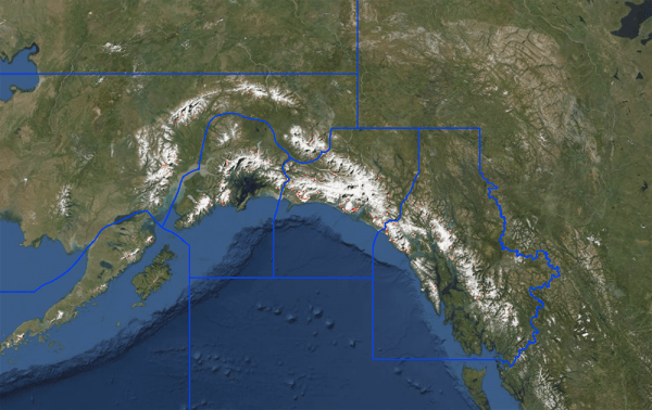
An interactive map created by CSU doctoral student Brianna Rick using Google Earth Engine provides a look at glacial lakes and dams. See link below to access the map. (Photo Credit: CSU)


