
The effects of our warming climate are seen across a multitude of measures, usually as incremental changes: more frequent extreme weather, heatwaves, droughts and wildfires.
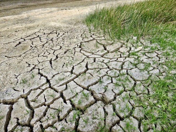
The cumulative impact of these changes, however, can cause fundamental parts of the Earth system to change more quickly and drastically. These ‘tipping points’ are thresholds where a tiny change pushes the system into an entirely new state. This week, at ESA’s Living Planet Symposium, scientists came together to discuss the latest research evidence for climate tipping points and identify the opportunities and challenges of using remote sensing data to understand them.
Tipping points are typically self-propelling, so that, once triggered, they drive deeper change. Examples include strongly increased ice sheet melt, permafrost thaw, ocean circulation changes and forest dieback. The threat to society from climate tipping points – both individually and due to their interactions – is not yet well understood. It is an area needing urgent research to develop predictions of when and where these abrupt changes can occur and the risk that they pose to communities and ecosystems worldwide.
The global view and high spatial resolution afforded by satellites pose a particularly useful opportunity, said researchers at ESA’s Living Planet Symposium in Bonn, Germany. Remote sensing has already been used to provide critical evidence of the proximity of several tipping elements, ranging from ice sheets to boreal and tropical forests.
Continue reading at European Space Agency
Image via European Space Agency


