
Using a method based on satellite images and artificial intelligence, Brazilian researchers have shown that the priority area for actions to combat illegal deforestation could comprise 27.8% less territory than the 11 municipalities monitored by the federal government under the current strategy, known as the Amazon Plan 2021/2022.
Using a method based on satellite images and artificial intelligence, Brazilian researchers have shown that the priority area for actions to combat illegal deforestation could comprise 27.8% less territory than the 11 municipalities monitored by the federal government under the current strategy, known as the Amazon Plan 2021/2022. This monitoring ignores new deforestation frontiers outside the targeted areas.
According to an article by the researchers, published in June in Conservation Letters, a journal of the Society for Conservation Biology, areas of the Amazon classified as high priority for having the highest deforestation rates totaled 414,603 square kilometers (km2) this year, while the total area targeted by the plan for the 11 municipalities is 574,724 km2. In other words, the area to be monitored could be reduced by 160,000 km2, which is about the size of Suriname.
However, while the deforestation hotspots identified by the researchers accounted for 66% of the average annual deforestation rate, the 11 municipalities targeted by the plan represented 37% of the deforestation rate for the last three years (2019-21).
In the article, scientists affiliated with Brazil’s National Space Research Institute (INPE) and universities in the United States conclude that the proposed method would give monitoring and law enforcement a tighter focus. Furthermore, they stress, it reveals new deforestation frontiers outside the priority area and hence not covered by the official monitoring plan.
Read more at Fundação de Amparo à Pesquisa do Estado de São Paulo
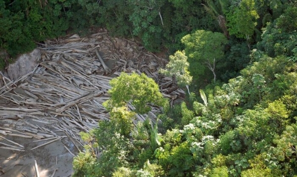
Image: A study using satellite imagery and machine learning techniques shows that many deforestation hotspots lie outside the 11 municipalities currently monitored by the Brazilian federal government (Credit: Agência Brasil)


