
Measurements from EMIT, the Earth Surface Mineral Dust Source Investigation, will improve computer simulations researchers use to understand climate change.
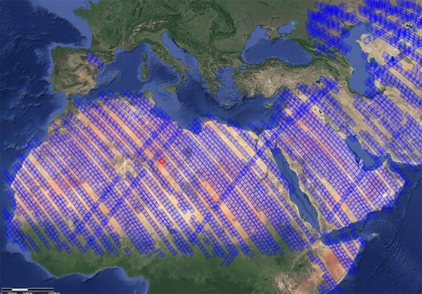
NASA’s Earth Surface Mineral Dust Source Investigation (EMIT) mission aboard the International Space Station has produced its first mineral maps, providing detailed images that show the composition of the surface in regions of northwest Nevada and Libya in the Sahara Desert.
Windy desert areas such as these are the sources of fine dust particles that, when lifted by wind into the atmosphere, can heat or cool the surrounding air. But scientists haven’t been able to assess whether mineral dust in the atmosphere has overall heating or cooling effects at local, regional, and global scales. EMIT’s measurements will help them to advance computer models and improve our understanding of dust’s impacts on climate.
EMIT scientists at NASA’s Jet Propulsion Laboratory in Southern California and the U.S. Geological Survey created the maps to test the accuracy of the instrument’s measurements, a crucial first step in preparing for full science operations.
Continue reading at NASA Jet Propulsion Laboratory
Image via NASA Jet Propulsion Laboratory


