
A study involving University of Oxford researchers used high-resolution satellite imagery to investigate how plant diversity affects elephant movements.
A study involving University of Oxford researchers used high-resolution satellite imagery to investigate how plant diversity affects elephant movements. The findings, recently published in the journal Remote Sensing, could help conservationists forecast potential human-elephant conflict hotspots when favourite plants overlap with human settlements.
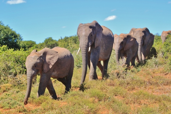
As human-elephant conflict continues to rise across Africa, researchers are searching for new ways to keep a watchful eye on wild African elephants, even looking to space technologies for guidance.
In the rural community of Sagalla in Tsavo Kenya, a hotspot for crop-raiding elephants, researchers at the University of Oxford’s Department of Biology collaborated with the charity Save the Elephants on a unique project to investigate how plant diversity on a micro scale affects elephant movement. For the first time ever, they tracked the footprints of elephants using a high-resolution hand-held Garmin GPS that captures point to point fixes at every 3-5 seconds, and overlaid it with free high-resolution satellite imagery.
In the process, they discovered that elephants make considered decisions about which paths to take based purely on their favourite food. The findings may be critical in helping conservationists forecast potential human-elephant conflict hotspots.
Read more at University of Oxford
Photo Credit: cocoparisienne via Pixabay


