
Using satellite monitoring data, researchers have developed a deep learning algorithm that could provide real-time monthly land use and land cover maps for parts of India.
Using satellite monitoring data, researchers have developed a deep learning algorithm that could provide real-time monthly land use and land cover maps for parts of India.
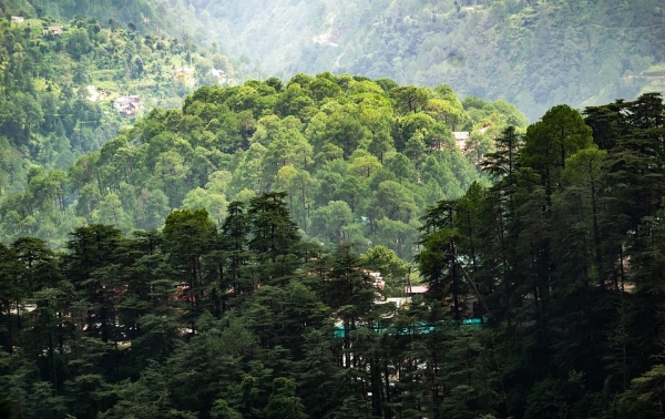
One of the 10 most forest-rich countries in the world, about 80.9 million hectares of trees cover India — about 25% of the nation — but this is a significant decline from years past. Between the 1890s and the 1990s, a combination of rapid economic development and overexploitation of local resources led to India losing nearly 80% of its native forest area. Now, as India’s forests still continue to disappear, researchers are focused on helping preserve what remains.
“Our work was done in an effort to help India’s government and industries improve the country’s attempts at forest sustainability,” said Ying Zuo, lead author of the project and a graduate student in earth sciences at The Ohio State University.
The land use monitoring system was trained using data provided by Norway’s International Climate and Forests Initiative (NICFI), an enterprise of the Norwegian government that aims to reduce the destruction of tropical forests, in part by providing high-resolution images of the world’s tropics. The product is generated using images from PlanetScope, a constellation of satellites that takes daily images of the entire globe.
Read more at Ohio State University
Photo Credit: balouriarajesh via Pixabay


