
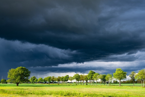
Tens of thousands of thunderstorms may rumble around the world each day, but accurately predicting the time and location where they will form remains a grand challenge of computer weather modeling.
Tens of thousands of thunderstorms may rumble around the world each day, but accurately predicting the time and location where they will form remains a grand challenge of computer weather modeling. A new technique combining underused satellite and radar data in weather models may improve these predictions, according to a Penn State-led team of scientists.
“Thunderstorms are so ubiquitous it’s hard to count how many you get in Pennsylvania, or the United States or globally every day,” said Keenan Eure, doctoral student in the Department of Meteorology and Atmospheric Science at Penn State. “A lot of our challenges, even today, are figuring out how to correctly predict the time and location of the initiation of thunderstorms.”
The scientists found that by combining data from the geostationary weather satellite GOES-16 and ground-based Doppler radar they could capture a more accurate picture of initial conditions in the boundary layer, the lowest part of the atmosphere, where storms form.
“There’s value in improving thunderstorm predictions from both Doppler radar observations and satellite observations that are currently underused and we showed that not only can they be used to improve predictions but putting them together has lots of benefits,” said Eure, lead author on the study. “The sum is greater than the individual parts.”
Read more at Penn State
Photo Credit: BernhardJaeck via Pixabay


