
Since the launch of the first Landsat satellite in 1972, NASA and its partners have mapped agriculture worldwide and provided key input into global supply outlooks that bolster the economy and food security.
Since the launch of the first Landsat satellite in 1972, NASA and its partners have mapped agriculture worldwide and provided key input into global supply outlooks that bolster the economy and food security.
Now NASA is increasing its decades-long investment in U.S. agriculture through the launch of NASA Acres, a new consortium that will unite physical, social, and economic scientists with leaders in agriculture from public and private sectors. They will have the shared mission of bringing NASA data, science, and tools down-to-Earth for the benefit of the many people working to feed the nation.
“For decades, NASA has collected data in space to improve life on planet Earth,” said NASA Administrator Bill Nelson. “Now these observations can be used not only to better understand our home, but to make climate data more understandable, accessible, and usable to help support agricultural business and benefit all humanity."
NASA Acres is commissioned under the agency’s Applied Sciences Program and led by the University of Maryland. The consortium approach brings together public and private stakeholders and allows rapid actions in delivering NASA Earth observation data into the hands of U.S. farmers.
Read more at NASA
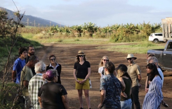
Image: NASA Acres Director Alyssa Whitcraft (center, yellow hat) meeting with farmers. NASA Acres is a new consortium that will unite physical, social, and economic scientists with leaders in agriculture from public and private sectors (Credits: NASA/Catherine Nakalembe)


