
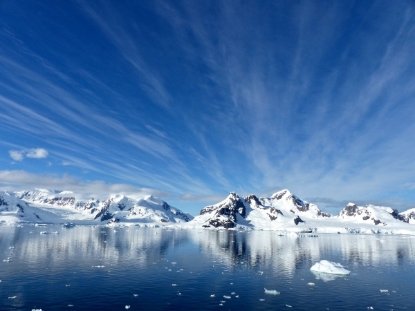
Dramatic changes in the Polar Regions are reflected in a new edition map of Antarctica and the Arctic produced by cartographers at the British Antarctic Survey (BAS).
Dramatic changes in the Polar Regions are reflected in a new edition map of Antarctica and the Arctic produced by cartographers at the British Antarctic Survey (BAS). The flagship printed map requires updating regularly to keep track of these fast changing and fragile environments, with Antarctica on one side and the Arctic on the reverse. The new edition contains brand new sea ice extent data, updated towns and airports in the Arctic, and new ice shelf outlines in Antarctica after the recent calving of giant icebergs.
The Arctic map covers all land and ocean north of 60°N and this map in particular has been completely refreshed, with every piece of information having been updated or checked.
Many towns in the Canadian Arctic are now known by their indigenous names and these now feature on the map. These include Sanirajak and Naujaat. In all areas of the Arctic, man-made features such as roads, railways and airports are continuously changing due to improved links to the most remote areas.
Physical changes noticeable in the update include new ice fronts reflecting the retreat of many large glaciers flowing out from Greenland and Svalbard, and changes to lake extents as the landscapes around them adapt.
Read more at British Antarctic Survey
Photo Credit: jcrane via Pixabay


