
A new technique developed by UCLA geologists that uses artificial intelligence to better predict where and why landslides may occur could bolster efforts to protect lives and property in some of the world’s most disaster-prone areas.
A new technique developed by UCLA geologists that uses artificial intelligence to better predict where and why landslides may occur could bolster efforts to protect lives and property in some of the world’s most disaster-prone areas.
The new method, described in a paper published in the journal Communications Earth & Environment, improves the accuracy and interpretability of AI-based machine-learning techniques, requires far less computing power and is more broadly applicable than traditional predictive models.
The approach would be particularly valuable in places like California, the researchers say, where drought, wildfires and earthquakes create the perfect recipe for landslide disasters and where the situation is to expected to get worse as climate change brings stronger and wetter storms.
Read more at: University of California - Los Angeles
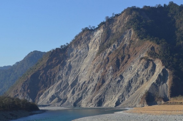
The UCLA researchers gathered data on various landslides, including one that occurred on this mountain in the eastern Himalayas. (Photo Credit: Peter Haproff)


