
Dust storms present a growing threat to the health and safety of U.S. populations.
Dust storms present a growing threat to the health and safety of U.S. populations. A new model, powered by NASA and NOAA satellite data, provides important early warnings.
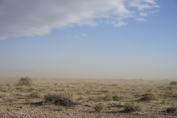
Interstate 10, an artery that cuts through the rural drylands of southern New Mexico, is one of the country's deadliest roadways. On one stretch of the highway, just north of a dry lakebed called Lordsburg Playa, fatal collisions occur with such regularity that officials often call it the “dust trap.” It's a fitting name. Since 1967, at least 55 deaths in the area have been linked to dust storms.
This stretch of Interstate 10 offers a concentrated example of the hazards that dust storms carry. But across the U.S. Great Plains, levels of windblown dust have increased steadily, by about 5% each year between 2000 and 2018, contributing to a decline in air quality and an increase in fatal collisions.
“Dust storms are appearing with greater frequency for reasons that include extended drought conditions and urban sprawl, which disrupt the fragile biotic crust of the desert,” said John Haynes, program manager for NASA’s Health and Air Quality Applied Sciences Team. As reduced rainfall in arid regions and warmer weather become regular fixtures of the U.S. climate, experts expect the trend to continue.
Read more at NASA
Photo Credit: RJA1988 via Pixabay


